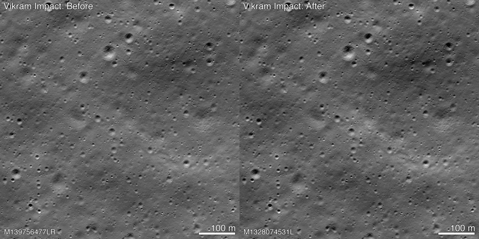
The lunar lander crashed and cast much debris across, show new NASA images
Images of the lunar surface just released by NASA confirm that the Indian lunar lander Vikram broke into pieces on crashlanding on September 7. Its debris was strewn across at least 750 metres of the crash site — which itself was off the landing target.
The U.S. space agency also credited Indian engineer Shanmuga Subramanian with first finding the debris from the Chandrayaan-2 mission’s lander.
In the images, NASA’s team tentatively identifies about 20 points with debris and a few spots where the lunar ‘soil’ or regolith was disturbed on its impact. Vikram also had a rover within.
The NASA on Tuesday released the images taken on November 11 by its Lunar Reconnaissance Orbiter (LRO) which has been orbiting and scanning the moon since September 2009.
“Shanmuga Subramanian contacted the LRO project with a positive identification of debris. After receiving this tip, the LROC [LRO Camera] team confirmed the identification by comparing before and after images.”
On September 7, the landing craft fell silent just three minutes before it was due to touch down on the lunar surface, and after a promising journey that took off from earth on July 22.
Ever since then, many space experts and amateurs have been piecing together bits of how and where the lander fell, while the Indian Space Research Organisation has given only sketchy information and shied away from sharing the details.
During its orbits the LRO had routinely flown over the presumed crash site on September 17, October 14 and November 11.

While the first two visits could not give clear images because of darkness on moon and the angle of the camera,
“The November mosaic had the best pixel scale (0.7 metre) and lighting conditions (72 degrees incidence angle).”
The December 3 statement said, “The November mosaic shows best the impact crater, ray and extensive debris field. The three largest pieces of debris are each about 2×2 pixels and cast a one pixel shadow.”
The debris first located by Mr. Shanmuga is about 750 metres northwest of the main crash site and was a single bright pixel identification in that first mosaic (1.3 metre pixels, 84 degree incidence angle). The November mosaic shows best the impact crater, ray and extensive debris field. The three largest pieces of debris are each about 2×2 pixels and cast a one pixel shadow.
When the images for the first mosaic were acquired the impact point was poorly illuminated and thus not easily identifiable. Two subsequent image sequences were acquired on October 14 and 15, and November. 11. The LROC team scoured the surrounding area in these new mosaics and found the impact site (70.8810 degree S, 22.7840 degree E, 834 m elevation) and associated debris field.
